Geoconcept : Optimize Route Planning with Advanced GIS Solutions
Geoconcept: in summary
Geoconcept delivers cutting-edge GIS solutions tailored for businesses seeking efficient route optimization and spatial analysis. With features like real-time data integration and advanced geocoding, this software streamlines logistics and enhances strategic decision-making for planners and analysts.
What are the main features of Geoconcept?
Innovative Route Optimization
Maximize efficiency in logistics operations with Geoconcept's route optimization capabilities. Designed to reduce travel time and costs while enhancing service quality, this feature is ideal for logistics managers and field service operators.
- Dynamic routing: Generate optimal routes based on up-to-the-minute traffic and weather data.
- Alternative route suggestions: Provide multiple routing options to fit varying operational requirements.
- Vehicle capacity management: Consider vehicle constraints to ensure accurate load distribution.
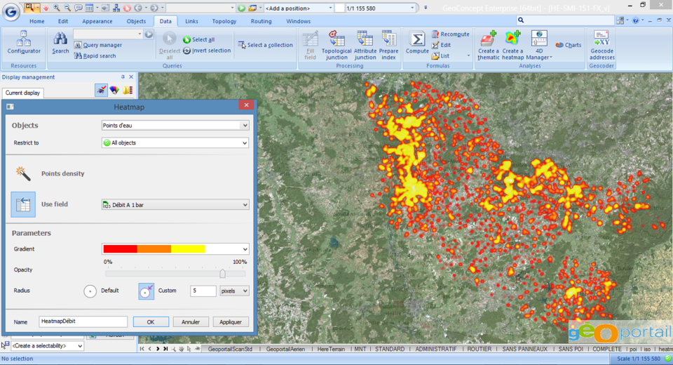
Advanced Geocoding and Mapping
Utilize enhanced geocoding and mapping features to accurately locate assets and visualize spatial data. Beneficial for urban planners and field service managers, this feature enables precise address matching and spatial analysis.
- Accurate address geocoding: Convert addresses into geographical coordinates with high precision.
- Interactive map visualization: Render detailed and customizable maps for comprehensive spatial analysis.
- Data layer management: Overlay multiple data sets to gain deeper insights into geographic patterns.
Real-Time Data Integration
Leverage real-time data integration for improved decision-making and operational responsiveness. This feature empowers businesses to incorporate live data into their geospatial analyses seamlessly.
- Live data connectors: Integrate with various data sources such as IoT devices and public APIs.
- Automatic updates: Ensure your spatial models and analyses reflect the most current data.
- Scalable architecture: Handle large volumes of data without compromising on performance.
 Geoconcept - Geoconcept-screenshot-0
 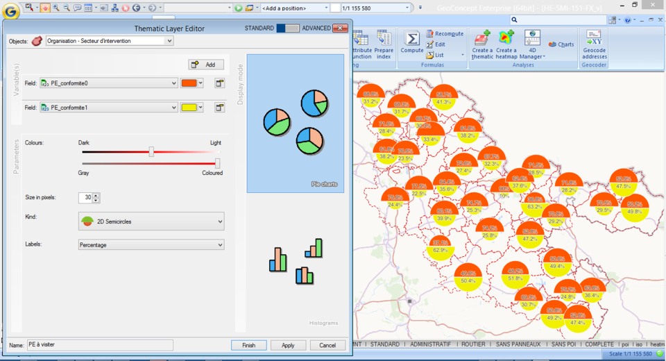 Geoconcept - Geoconcept-screenshot-1
 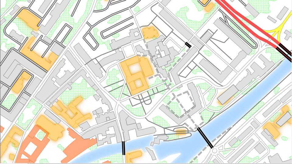 Geoconcept - Geoconcept-screenshot-2
 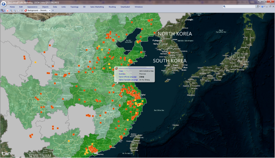 Geoconcept - Geoconcept-screenshot-3
 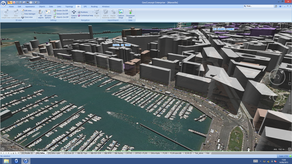 Geoconcept - Geoconcept-screenshot-4
 Geoconcept: its rates
standard
Rate
On demand
Clients alternatives to Geoconcept
GIS software for mapping and analyzing data. Customizable layers and tools for data visualization, spatial analysis, and collaboration.
See more details See less details
iHound is a powerful GIS tool that allows users to create custom maps and analyze data using a variety of tools. With customizable layers, data visualization, and spatial analysis capabilities, iHound provides a comprehensive solution for businesses and organizations looking to improve their data analysis and collaboration efforts.
Read our analysis about iHoundThis GIS software enables users to visualize, analyze and manage geographic data. It features advanced mapping tools, data importing/exporting, and customizable templates.
See more details See less details
With iRedistrict, users can create interactive maps, generate demographic reports, and perform spatial analysis. It allows for collaboration among team members and provides data security through user access controls. Its intuitive interface makes it easy for users to get started with GIS.
Read our analysis about iRedistrictPowerful GIS software for analyzing spatial data and creating dynamic maps with real-time data integration.
See more details See less details
With advanced visualization and analysis capabilities, this GIS software allows users to gain valuable insights from their data. Its ability to integrate real-time data sources and provide dynamic maps makes it a valuable tool for professionals in industries such as transportation, defense, and emergency management.
Read our analysis about LUCIAD Appvizer Community Reviews (0) The reviews left on Appvizer are verified by our team to ensure the authenticity of their submitters.
Write a review No reviews, be the first to submit yours.